Empowering Industries with
Cutting-Edge Drone Survey Solutions
Enhance efficiency and precision across Solar, Wind, Roadways,
Railways, Transmission Lines, Surveillance and more!

Aerial Photography & Videography

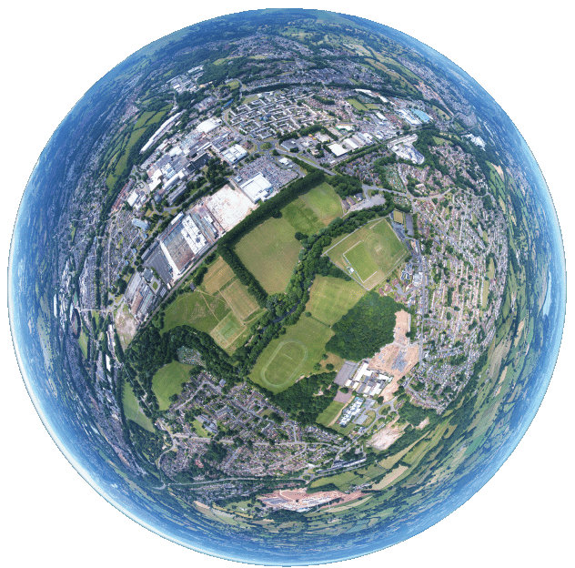
Surveying & Mapping

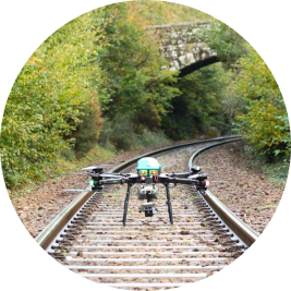
Infrastructure Inspection

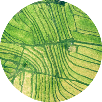
Agriculture Solutions

Monitoring & Surveillance
ABOUT US
Specialising in Drone Survey, Mapping and Inspection
By integrating advanced technology into your workflows, we aim to enhance accuracy, safety and efficiency, ultimately driving your business forward.

115
Projects Completed
WHY CHOOSE US
Grow Your Business with Aerial Insights


Committed to Standards
We follow standard operating procedures to ensure quality.

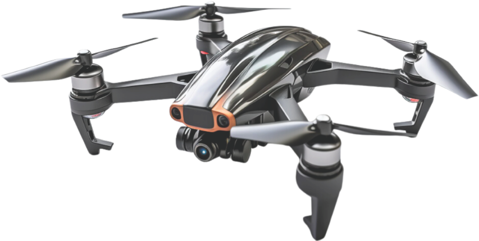
Latest Technologies
Delivering precision through data insights for all industries.

Advanced Equipments
Staying ahead of emerging industry trends.

Experienced Pilots
Certified experts capturing insightful data for superior analysis.
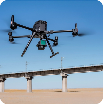
Fly High with DroneX's Aerial Expertise
- Precision through Cutting-Edge Technology
- Delivering Drone Videography, Surveys and Mapping
- Dedicated team of certified drone pilots and geospatial experts
450+
Hours of Aerial Filming
38+
Happy Clients
36K+
Kilometers Mapped
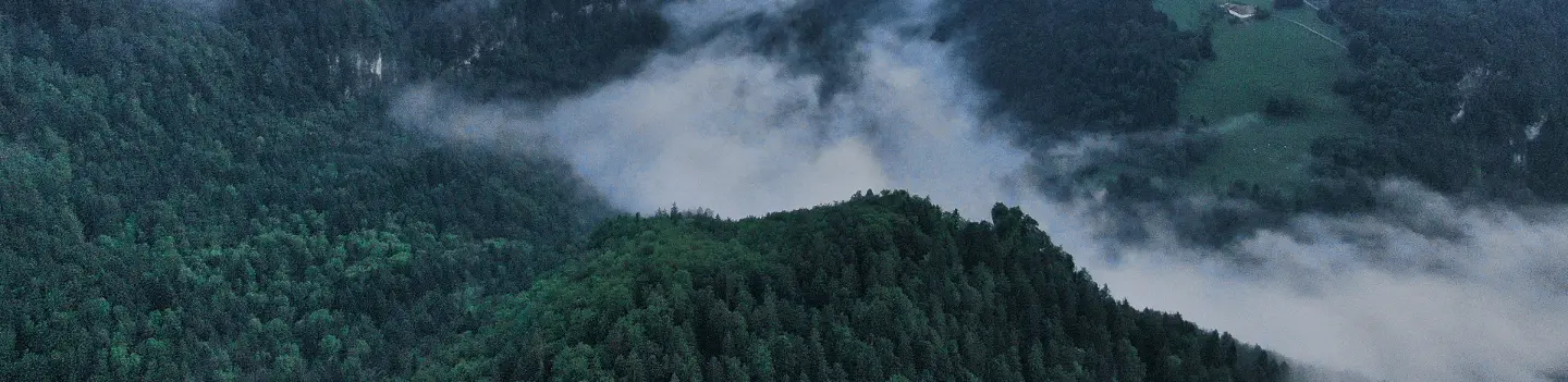
RAISING STANDARDS HIGHER
High Quality with Advanced Data Analytics
We are at the forefront of leveraging cutting-edge drone technology to deliver
exceptional aerial videography, survey and mapping services.
Enhanced Safety
Minimizes risk by avoiding dangerous environments.
Cost-Effective Solutions
Reduces need for expensive traditional equipment.
Increased Efficiency
Faster coverage of large areas accurately.
High-Quality Data Collection
Captures detailed, accurate data for insights.

Map the Future
with Us
- Aerial data collection, 3D mapping, and analytics.
- Accurate, efficient, and cost-effective surveying
- Certified drone pilots and geospatial experts

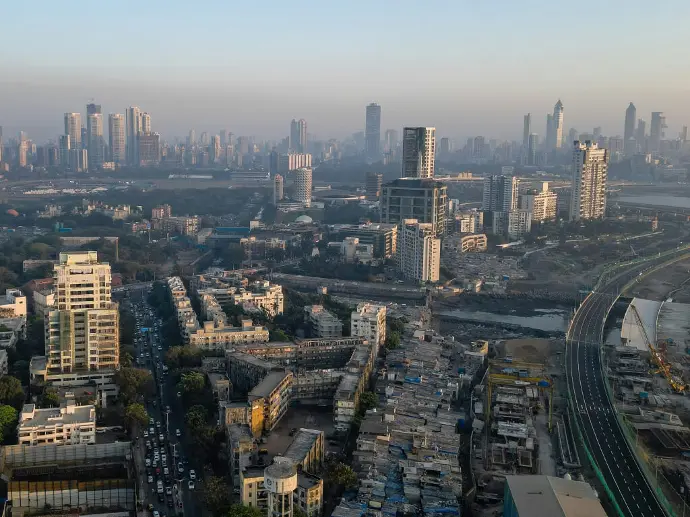
SERVING A WIDE RANGE OF INDUSTRIES
Elevate your Operations with DroneX
We invite you to connect with us and discover how our drone, survey, inspection,
and mapping services can transform your business operations with our industry-specific solutions


Survey & Mapping


Solar Survey & Inspection
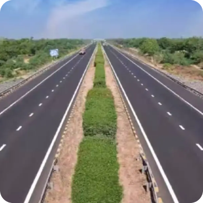
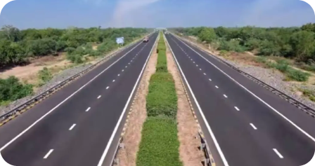
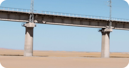
Highway Infrastructure Survey
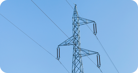
Power Line Surveys
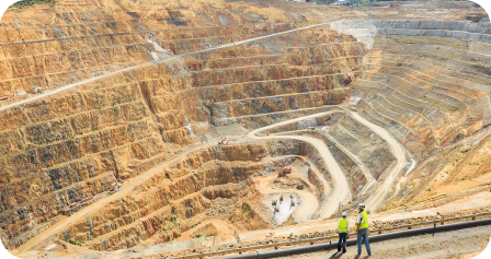
Mining Surveys
Railway Infrastructure Inspection
Agriculture Inspection
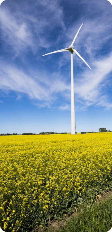
Wind Turbine Inspection